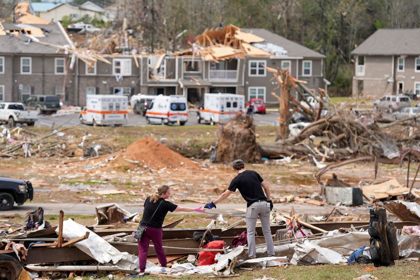
As communities in the central US grapple with widespread devastation from a line of deadly storms that spawned dozens of tornadoes this week, forecasters are warning of another grave threat to the region: relentless rain into the weekend, with the potential to trigger “generational” flooding.
The flooding threat comes on the heels of seven deaths across Tennessee, Missouri and Indiana after the violent system moved into the region Wednesday.
As the tornado threat from the storm ended, the Mississippi Valley, including parts of Arkansas, Missouri, Tennessee and Mississippi, braced for a three-day stretch of extreme flood risk – an occurrence almost unheard-of outside hurricane season.
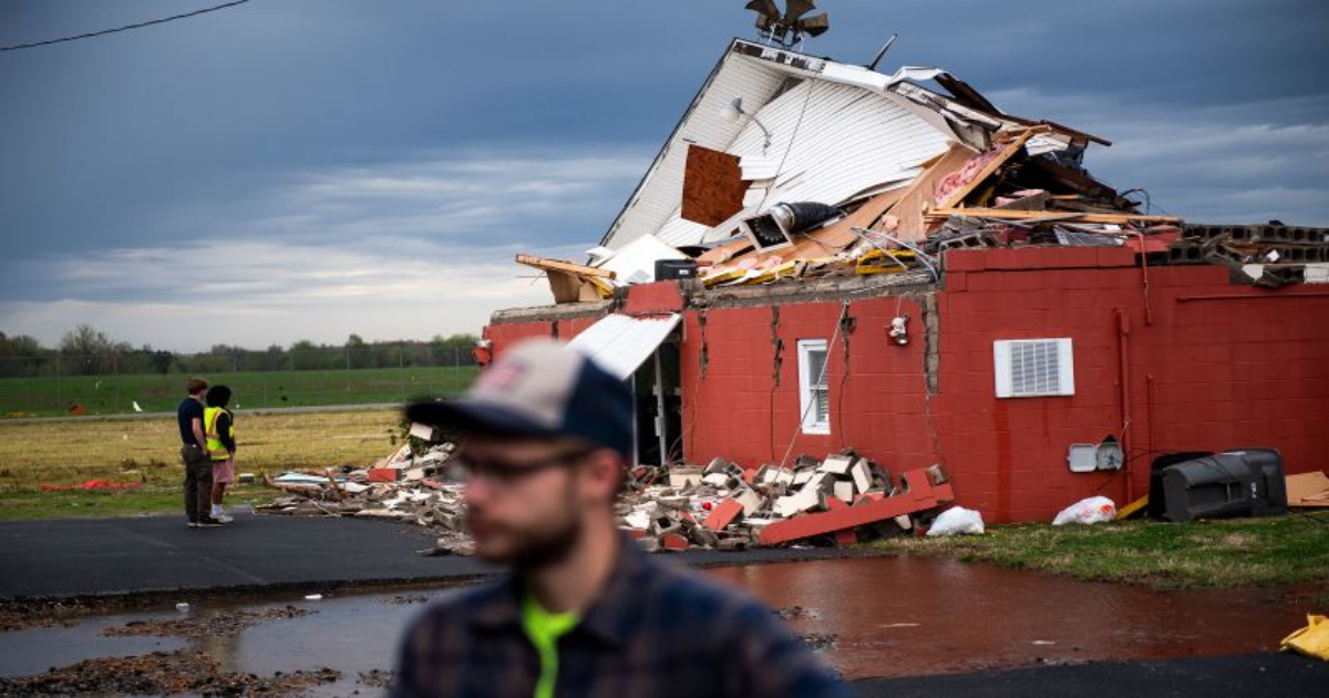
In hard-hit Selmer, Tennessee, a town about 90 miles east of Memphis, the tornado outbreak claimed at least three lives. Residents of a newly built apartment complex there scrambled to take shelter as the storm struck.
“Most people took shelter in their laundry rooms inside of the apartments,” said resident Justin West, whose unit survived while the front of the complex was “almost gone.”
West witnessed cars destroyed in the parking lot, piles of debris, and sections of the roof torn away. The complex opened less than a year ago, West pointed out.
Tennessee Gov. Bill Lee urged residents to stay alert, saying, “Don’t let your guard down.”
“There’s been a lot of damage, there’s been a lot of tornadoes, there’s been loss of life and real devastation across the state, but this storm is going to continue,” Lee said on Thursday.
At least five deaths had been reported in the state, according to Patrick Sheehan, director of the Tennessee Emergency Management Agency. And there were more than 4,000 customers without power in the state early Friday, according to PowerOutage.us.
As the cleanup of tornado damage begins, the same system is forecast to trigger “life-threatening flash flooding” and severe weather through Sunday across the Ohio Valley, the Mid-South, and the Mississippi Valley, with the greatest impact expected in the Arkansas, Louisiana, and Texas region, the National Weather Service warned.
From Arkansas to Kentucky, historic rainfall could bring once-in-a-generation flooding. While flooding has already begun in some areas, conditions are expected to worsen significantly through Saturday, according to forecasters. Rainfall totals are projected to be so extreme that forecasters are using statistical terms, such as 1-in-25-year, 1-in-100-year, and even 1-in-1000-year events, to describe their rarity.
A recent study highlights the role of climate change in extreme weather events, noting that hourly rainfall rates have intensified in nearly 90% of large US cities since 1970.
For this system, federal and local agencies have mobilized water rescue teams and emergency supplies, including food and water, to brace for the worst.
In Nashville, over a dozen water rescues took place on Thursday as relentless rain battered the city. Near Trevecca Nazarene University, first responders pulled a driver from a partially submerged vehicle, guiding him through a window and onto a rescue raft.
In Kentucky, Gov. Andy Beshear declared a state of emergency for the western part of the state, warning of record rainfall in areas unaccustomed to flooding. At least 25 state highways, primarily in the west, were submerged by floodwaters, according to the governor’s office. This comes after other recent flooding events in Kentucky. In February, a deadly winter storm claimed several lives, and in 2021, the state faced another large-scale flash-flooding disaster.