- Rare Level 5 out of 5 ‘high risk’ of severe weather issued covering parts of six states.
- A tornado outbreak is likely, with strong, long-track tornadoes expected in the mid-South and lower Mississippi Valley.
- The same severe weather system will bring “generational flooding” to the Mississippi and Ohio valleys.
- NWS: “Have a severe weather action plan in place and the means to activate that plan in a matter of minutes to protect life.”
- Damage reports from possible tornadoes in Kansas, Missouri and Oklahoma continue to come in early on Wednesday.
MEMPHIS, Tenn. – A tornado outbreak is expected Wednesday and Wednesday night from parts of the lower Mississippi Valley into the mid-South and lower Ohio Valley, including the threat of multiple long-track EF-3 or stronger tornadoes.
NOAA’s Storm Prediction Center (SPC) upgraded portions of Arkansas, Missouri, Illinois, Kentucky, Tennessee and Mississippi to a rare Level 5 out of 5 “high risk” of severe weather.
HOW ARE TORNADOES RATED? THE ENHANCED FUJITA SCALE EXPLAINED

(FOX Weather)
This marks only the second time this year, and the first instance of two such high-risk alerts in a single year since 2021, that a Level 5 threat has been issued. The previous Level 5 alert was issued on March 15 when the National Weather Service confirmed 13 tornadoes, including six powerful EF-3s, which tragically resulted in seven deaths and 12 injuries.
Kentucky Gov. Andy Beshear declared a state of emergency Wednesday morning ahead of storms arriving in that state.
While the greatest tornado risk is expected from Wednesday afternoon into Wednesday evening, severe weather is already ongoing in parts of the central U.S.
On Wednesday morning, a line of thunderstorms exploded from central and eastern Kansas down to Oklahoma. A tornado was spotted near Salina, Kansas, late Tuesday evening, as the storms rolled through the region.
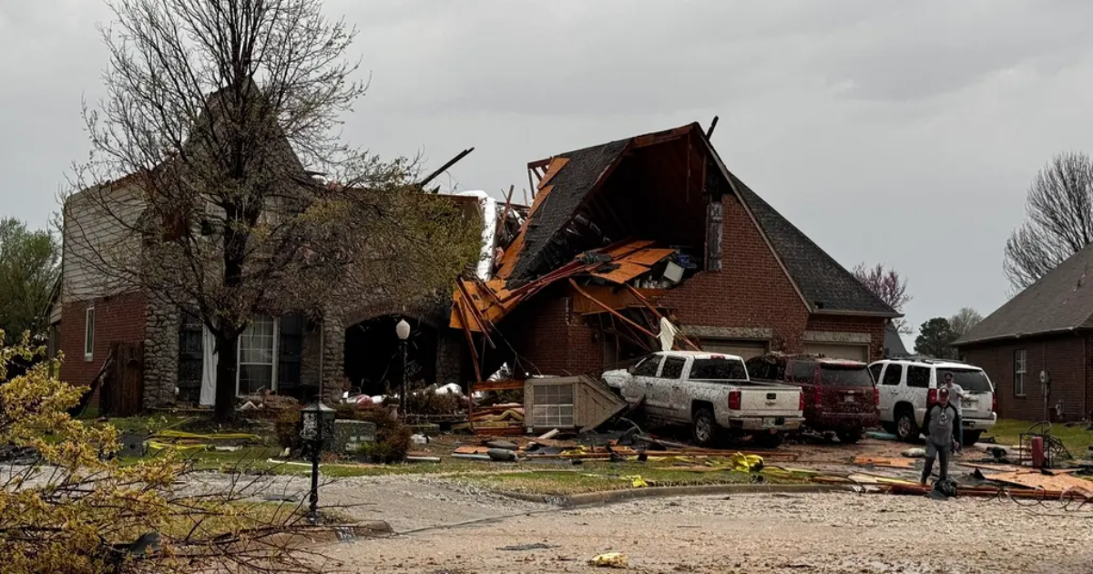
To the south, police in Owasso, Oklahoma, were assessing damage after a radar-confirmed tornado moved through the city. Drone images showed roofs torn off homes in several neighborhoods.
As the storms charged east, the fire department in Nevada, Missouri, confirmed to FOX Weather that a suspected tornado hit the city on Wednesday morning. There were no immediate reports of injuries.
Video from residents showed buildings badly damaged, with roofs ripped off and debris littering local streets.
Missouri State Highway Patrol Sgt. Mike McClure told FOX Weather power lines were brought down inside the city of Nevada, and several businesses were damaged, including a hotel.
Potential for long-track EF-3 or stronger tornadoes in parts of Midwest, South
The SPC warned that the “most intense tornadic supercells will be capable of producing long-track EF-3+ tornadoes.”
This threat is greatest from parts of the lower Mississippi Valley into the mid-South and lower Ohio Valley and is expected to begin Wednesday afternoon and last until the evening.
The National Weather Service in Little Rock, Arkansas, issued a dire warning to the whole state on Wednesday morning: “Have a severe weather action plan in place and the means to activate that plan in a matter of minutes to protect life.”
 The tornado outlook for April 2, 2025.
(FOX Weather)
Severe weather threat spans an area from Texas to Great Lakes
Outside the high-risk zone, Wednesday’s overall threat of severe storms spans an area from North Texas to the southern Great Lakes and also includes the potential for hail larger than 2 inches in diameter and damaging wind gusts in excess of 70 mph.
At the southern end of the severe weather risk zone, the Dallas–Fort Worth Metroplex in North Texas faces a Level 3 out of 5 severe weather threat. However, the risk of severe storms is much higher farther north and east in the risk zone.

(FOX Weather)
On Wednesday afternoon and evening, the wider severe weather threat encompasses cities such as Indianapolis, Louisville, Kentucky, and Little Rock, Arkansas, which are under a Level 4 out of 5 threat for severe storms. Tornadoes, damaging wind gusts and large hail are all potential threats there.
“When the Storm Prediction Center slaps a high risk, it commands your attention,” FOX Weather Meteorologist Britta Merwin warned. “This is the worst of the worst when it comes to a forecast setup, and you have to be prepared for these tornadoes that could be on the ground for miles and miles on end.”
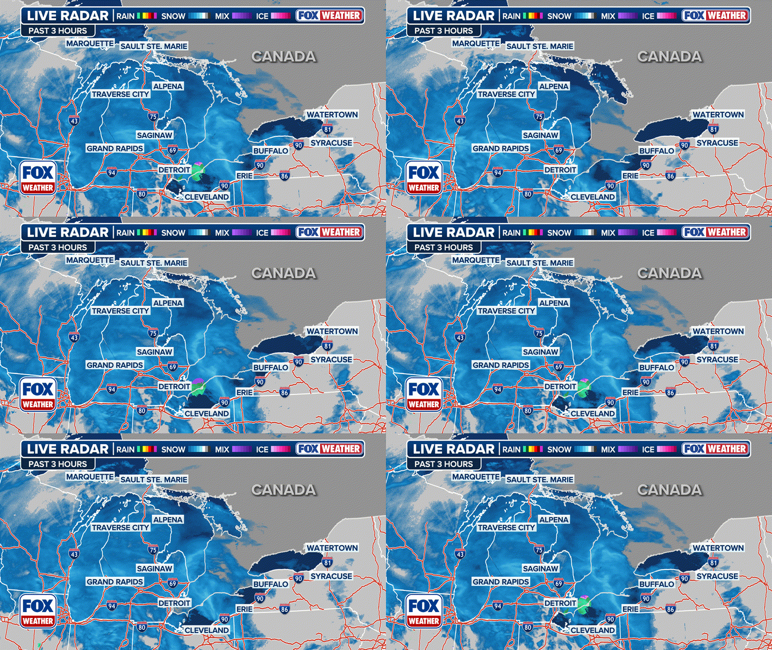
 Three-hour radar loop. Warning boxes are color coded as: Severe Thunderstorm Warnings in yellow, Tornado Warnings in red, Tornado Warnings with confirmed tornado in purple, Flash Flood Warnings in green, and Flash Flood Emergencies in pink.
(FOX Weather)
Severe storms persist through the weekend
Even as the main storm system begins to pull away on Thursday, daytime heating on Thursday afternoon will lead to another round of severe storms.
Damaging winds, large hail, and tornadoes will again be possible during the afternoon and evening hours on Thursday. A Level 3 out of 5 risk encompasses a zone from east Texas, including Texarkana, to Tennessee, including Memphis. Meanwhile, a wider area faces a Level 2 out of 5 risk from central Texas to the Northeast.

(FOX Weather)
More severe weather is forecast through the end of the week and into the weekend, as well.
The numerous rounds of rain and storms will lead to the aforementioned potentially generational flooding in the Mississippi and Ohio valleys.
 The severe weather outlook through the weekend.
(FOX Weather)
